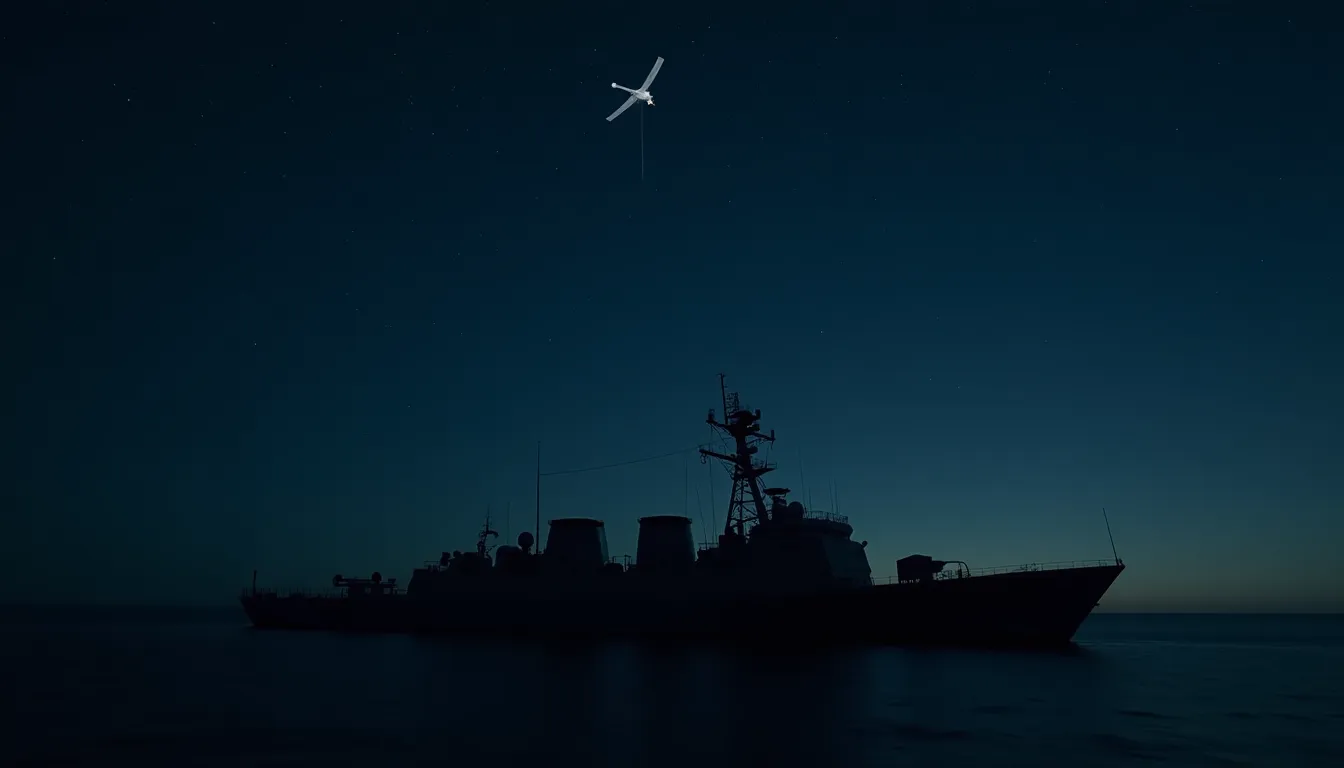
Uncrewed surface vessels equipped with ISR sensors are extending persistent maritime awareness by filling coverage gaps that manned patrols and periodic satellite passes cannot provide, enabling continuous tracking across vast ocean areas critical to Indo-Pacific operations.
Key Takeaways
- Uncrewed surface vessels can operate for 190+ hours and fill persistent surveillance gaps that manned patrols and periodic satellite passes cannot provide alone
- The Navy is transitioning toward network-centric operations where multiple USVs function as unified units rather than individual assets, improving coverage efficiency
- Scaling USV operations requires mission-level autonomy where operators set objectives while software coordinates routine tasks across multiple vessels
- Standardized interfaces and modular open systems architecture are essential to enable interoperability and reduce vendor lock-in across maritime surveillance platforms
- USV networks must balance attritable low-classification vessels for data collection with higher-capability systems requiring enhanced security controls in hostile regions
Uncrewed Surface Vessels Close Gaps in Maritime Surveillance Networks
Intelligence, surveillance, and reconnaissance (ISR) used to build persistent awareness of real-time maritime activity has advanced significantly through the Navy's effort to deploy unmanned surface vessels (USVs), addressing a critical capability gap in ocean monitoring. The goal is to detect, track, and interdict potential threats quickly and at standoff distances.
Building this awareness is critical to potential future naval conflicts, especially in the Indo-Pacific region, where adversaries conduct exercises and operations in gray zone maritime environments. Maintaining situational awareness in these contested waters helps identify potential threats and enables commanders to respond appropriately. The persistent maritime awareness infrastructure must allow the Navy to sense, track, and share information with other forces and allies at operational speed.
The Coverage Problem
Current maritime surveillance approaches rely primarily on manned assets and satellite coverage, but both have fundamental limitations. While satellite systems and patrol aircraft can maintain coverage broadly over large areas, each has a very narrow aperture and cannot cover any particular spot with persistence. For the Air Force operating strike missions, this limitation is acceptable, but for the Army conducting logistics operations or the Navy positioning assets, it is inadequate—they need specific information about their operating areas with a persistent view that is difficult to achieve with airborne assets that are in constant motion and limited in endurance.
The Pacific region exemplifies this challenge. While extensive sensor infrastructure exists in place, maintaining persistent awareness across chokepoints, harbor approaches, and logistics routes remains difficult to sustain. Vast distances make continuous local coverage difficult with traditional platforms alone.
USVs as a Solution
Smaller, more agile vessels carrying ISR and communications systems can help fill in the gaps, extending sensing capabilities. Small USVs capable of operating for 190 hours or more and then loitering in certain areas can shrink the giant blue ocean down into more manageable areas of interest, allowing progression from situational awareness to targeting. These vessels do not replace existing capabilities but rather enhance and extend them.
The operational value lies in continuity. Persistent awareness requires enough coverage over time to notice changes, establish patterns, examine anomalies, and maintain track continuity after initial detection—precisely what USVs can provide through extended loiter times and distributed sensor networks.
Network-Centric Operations
Successfully deploying USVs requires a fundamental mindset shift about how maritime forces operate. Rather than viewing individual boats as separate task assets, the Army and Navy must think about networks of USVs as unified operational units. From this command perspective, decision-makers can begin to ask resource questions about how to feed new small USVs into the network, how to remove them, and how to manage the network while keeping it robust and intact across defined areas of responsibility.
This network approach enables comprehensive strategies for understanding maritime activities in an area. When sensing and detection operate as a network rather than individual assets, commanders can implement coordinated strategies for better situational awareness. The network model proves especially valuable in the Pacific, where vast distances otherwise make continuous local coverage impossible with legacy approaches.
Operational Challenges
Sustaining a maritime USV network in hostile regions presents multiple operational hurdles. Crewed surface vessels and aircraft operate under fuel constraints, requiring refueling access in theater. Submarines can only operate for limited periods before needing to resurface and resupply. USVs create different logistical needs but introduce their own risks—they could potentially be captured and reverse-engineered by adversaries, compromising closely guarded technology secrets.
A balance is required in network design, potentially involving many attritable, low-classification or unclassified units serving as passive data collectors alongside a smaller number of units with more sophisticated capabilities requiring different security controls. The critical element is ensuring the sensor network is self-healing and self-managing within hostile territory constraints.
Autonomous Operations at Scale
Scaling USV operations requires solving the manning challenge. While each crewed ship, submarine, and aircraft has a dedicated crew, a 1:1 ratio of operators to USVs is impractical. Instead, operations must transition to mission-level supervision where operators set coverage objectives and operating constraints, handle exceptions, and retain authority over execution while autonomy software coordinates routine tasks across multiple vessels.
USVs can establish expected patterns in an area and identify deviations for further investigation or engagement. For example, if vessels follow predetermined routes based on water depth and maneuvering capabilities, USVs can flag pattern deviations so commanders can decide what action is needed, including potential engagement with hostile targets. Multi-mission USVs with both non-sophisticated and sophisticated payloads can automatically adjust based on rules of engagement and mission parameters when adversary patterns change, reducing cognitive burden on human operators.
Interoperability and Standards
Building an effective maritime awareness infrastructure requires cooperation across military branches and between the Pentagon and industry. By implementing consistent standards, modular architecture, and clear capability requirements, interoperability can be built into platforms from the start, rather than requiring operators in the field to improvise solutions or work through technical manuals.
Efforts underway to ensure consistent interoperability from the outset include open standards, modular open systems architecture, and government reference architectures that clarify requirements and building approaches for integration within larger ecosystems. Standardized interfaces can reduce custom integration work and vendor lock-in, allowing proprietary technologies from different companies to operate within shared architectures, making it easier to introduce new capabilities and replace or upgrade individual components.
Strategic Implications
The shift toward persistent USV-based maritime awareness reflects broader military priorities in the Indo-Pacific. As maritime competitors expand gray-zone operations and potential conflicts loom, the ability to maintain continuous surveillance across contested waters becomes operationally critical. USVs offer a cost-effective, distributed alternative to relying solely on limited numbers of manned vessels and satellites with narrow coverage apertures. The network-centric approach allows commanders to achieve persistent coverage over vast areas while maintaining human control over tactical decisions and maintaining operational security through tiered capability classification.
Sources
- Breaking Defense: How uncrewed surface vessels performing ISR help build persistent maritime awareness
- Breaking Defense: Army unit experimenting with small drones for 'tailored cyber effects'
- Breaking Defense: Pentagon, Lockheed agree to decade-long F-35 framework deal for hundreds of jets
- Breaking Defense: Air Force needs 1,509 combat-ready jets by 2035, service tells Congress
- Breaking Defense: Israel's Elbit acquires Canadian company focused on autonomous underwater systems
- MachineHours Encyclopedia: Drone Technology — Autonomous Flight and Its Economic Impact
Frequently Asked Questions
What are uncrewed surface vessels being used for in maritime ISR?
According to Breaking Defense, uncrewed surface vessels carrying ISR sensors are helping build persistent, round-the-clock maritime awareness that fills gaps left by intermittent satellite passes and manned patrols.
What did the Pentagon and Lockheed Martin agree to?
Breaking Defense reported the two sides agreed to a decade-long framework deal covering hundreds of F-35 jets, intended to stabilize long-term production schedules.
How many combat-ready jets does the Air Force say it needs?
The Air Force told Congress it needs 1,509 combat-ready jets by 2035, according to Breaking Defense.
What did Elbit Systems acquire?
Elbit Systems, based in Israel, acquired a Canadian company focused on autonomous underwater systems, expanding its uncrewed maritime technology portfolio.
Why does space-based infrastructure matter for maritime drone ISR?
Persistent maritime awareness from uncrewed surface vessels relies on satellite communications for data relay and GPS for positioning, making space-based infrastructure a key dependency for multi-domain autonomy.
Get MachineHours in your inbox
AI compute and the machine economy in your inbox.